5 Can’t-Miss Stops Along Washington’s Mt. Baker Scenic Byway
National Parks, Trip Ideas & Guides
By Emily Butterfield
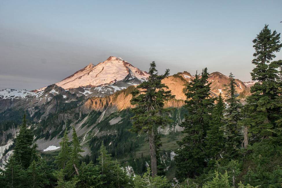
The Mt. Baker Scenic Byway (State Route 542) is a beautiful year-round playground for outdoor adventurers. The 58-mile route near the Canadian border runs northeast from Bellingham to Artist Point and is the only road to reach Mt. Baker Ski Area. It’s under 3 hours from our Seattle camper van rental site.
From fall through early summer, the last 2.7 miles of the road is closed between the upper ski resort and the Artist Point parking lot due to snow. This snowy section is a popular route for snowshoers, backcountry skiers, and snowboarders. During the summer months, the highway leads to many stunning hiking trails in the Mt. Baker Wilderness and North Cascades National Park.
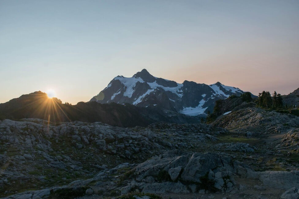
1. Watch the Sunset or Sunrise at Artist Point
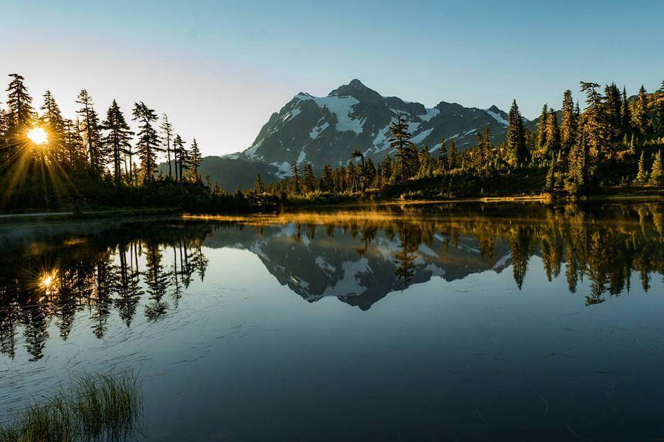
Artist Point is one of the most beautiful vistas you can reach by car in the entire state. After a few hairpin turns, Mt. Baker highway ends in the Artist Point parking lot where you’ll find several trailheads for day or overnight hikes. You can easily enjoy the scenery right from the parking lot or along a short footpath. You’ll get up-close views of Mt. Shuksan, Mt.Baker and the rugged North Cascade range. Be sure to catch Mt. Shuksan’s reflection in one of the tarns or Picture Lake.

2. Stop and Smell the Wildflowers on Yellow Aster Butte
OK, it’s more like a bumpy drive up a forest service road and a 7.5-mile round-trip hike, but the wildflowers on this trail are stunning – there’s a reason it has ‘yellow aster’ in its name. Referred to by locals as YAB, you’ll gain 2,550 feet of elevation along the hike, reaching a high point of 6,150 feet in the North Cascades. You’ll be rewarded with views of Mt. Baker, Mt. Larrabee, the High Divide, and the Canadian Border Peaks. It’s also a popular hike to see the colorful fall foliage. The glacier-fed tarns are a great place to refill your water bottle or pitch a tent for the night.
3. Enjoy a Breakfast Burrito and Espresso at the Wake ‘N Bakery
Located in the town of Glacier, the Wake ‘n Bakery is a popular stop for breakfast or a cup of joe. The baristas serve up organic espresso, home-baked goods, and savory breakfast burritos. They also sell locally made gifts like jewelry and pottery. It’s a perfect stop for a pre- or post-adventure recharge!
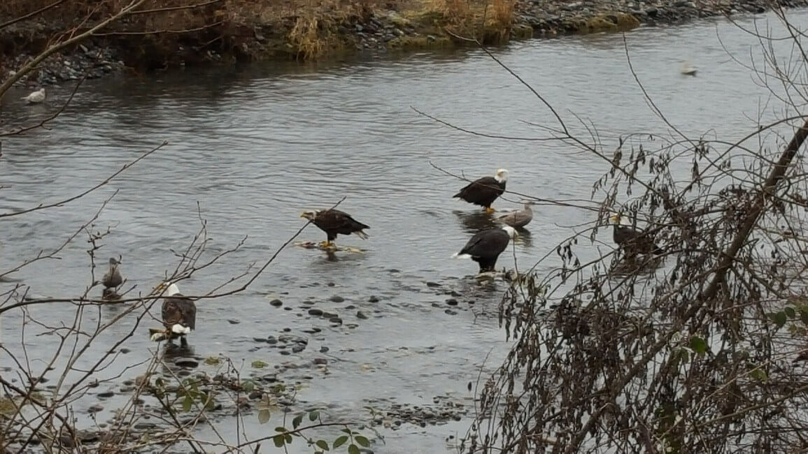
4. Watch Bald Eagles Feast on Salmon in the Nooksack River
From late November through January, thousands of bald eagles descend on the Nooksack River to feast on chum salmon. It’s a thrilling event for photographers or anyone wanting to get an up-close view of these majestic creatures. One of the best places for viewing is just off Mt. Baker Highway on Mosquito Lake Road at Deming Homestead Eagle Park. The birds sit on the river boulders and up in the trees, hunting their favorite cuisine. Don’t forget your binoculars!
5. Grab a Beer – or Get Married – at the North Fork Brewery
Small-batch beer brewed on site, yummy pizza, a beer shrine, and even a wedding chapel makes The North Fork Brewery a unique stop along the highway. Located in the town of Deming, it’s been a local favorite since opening in 1997. They brew British-style ales and barrel-aged sours and lagers, but of course, you can find a Pacific Northwest staple – India Pale Ale – on tap as well.
Where to Camp:
There are two designated Forest Service campgrounds on Mt. Baker highway: Douglas Fir Campground and Silver Fir Campground. There are also dispersed camping opportunities along the highway. For more information, call the Mt Baker Ranger District office in Glacier at (360) 599-2714.
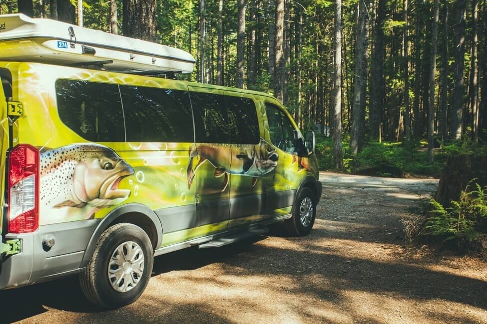
Ready for Your Trip Through Mt Baker Scenic Highway?
If you want to take a road trip through Mt Baker, go ahead and book your campervan from our Seattle depot. Happy travels!

Hownare the road conditions to the ski area at Mt Baker. I took my kids sleddijg there awhike back. I’m from texas and dont know how to find road conditions. They want to go sledding again. We drive a sedan don’t want to be driving on ice/snow to get to that ski area. Thank you!
The Department of Transportation websites for each state are usually a good place to start when searching for road conditions. Here is Washington’s DOT website: https://www.wsdot.com/traffic/passes/passinformation.aspx#mt.bakerhwysr542link It looks like the road is all clear at the moment (5/12/20 10am).
You missed the obvious! Nooksack Falls.
I’m trying to figure out our trip (end of April) and a little confused of where the bypass is/closed roads. Is Heybrook Lookout all the way to Artist point still the same bypass area? It seems really confusing online so just trying to put it all together
Hi Macy! I would recommend checking the WDOT website for real-time road updates. Here: https://wsdot.com/travel/real-time/